
Hello again Zemax community,
I am trying to import a freeform surface into Zemax but I am experiencing the following difficulties:
My freeform surfaces are externally generated and these are constructed by parameterizing the surface by the distance from the origin the points on the surface. As a consequence, this can result in surface profiles which do not have a single height value for a given x and y coordinate. You can take a look to an example of the type of freeform surface that I am generating:
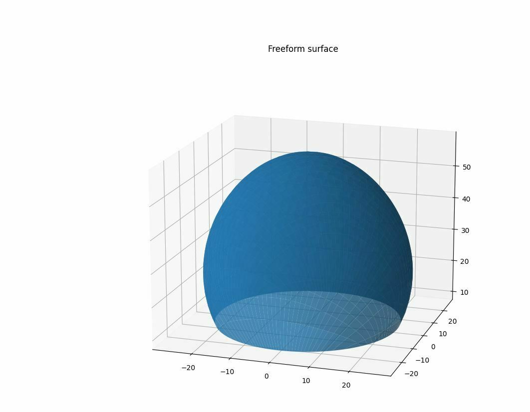
One way in which you can think of this surface is as a spherical base surface for which at each point, there exists a radial offset from the ideal spherical base.
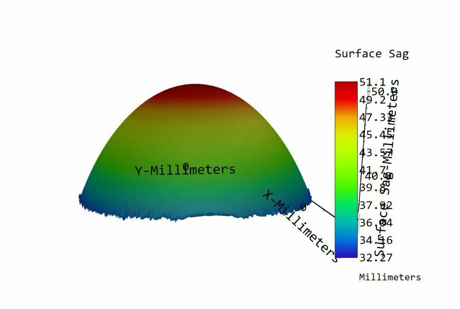
After externally generating my freeform surface, I tried importing it into Zemax by using a .DAT (for sequential analysis) and a .GRD (non-sequential analysis) file.
However, once I take a look to the sag profile using the Surface sag tool, I can clearly notice that the lower surface profile is lost. To me it seems that in this case the surface can just have a single height value for a given x and y coordinate.
Do you have any recommendation on what to do in this situation? Do I maybe need to use a different approach for importing this surface profile into Zemax?
In advance, thanks for the help and the comments!
